2023 Map of Ransom
USGS Topo · Published 2023About this map
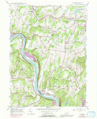
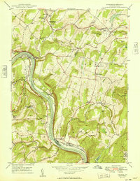
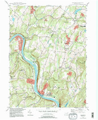
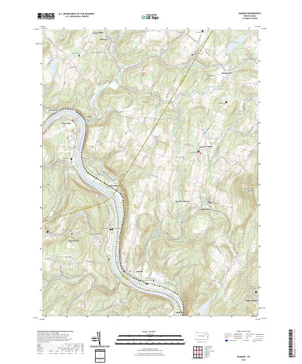
The Susquehanna River carves a deep valley through this Pennsylvania landscape, defining the transition between Wyoming, Lackawanna, and Luzerne counties. High-elevation points like Pinnacle Rock Bald Mtn and Griffin Hill overlook a network of tributary creeks, including Gardner Creek and Keeler Creek, which have historically shaped the local settlement patterns. Small communities such as Ransom, Milwaukee, and Schultzville are interconnected by a winding road system, while the river itself is shadowed by the Susquehanna River Water Trail.
Find a feature on this map
111 named features on this map. Tap any name to fly to it.
Don’t see what you’re looking for? This feature index may not catch every label — zoom into the map to look around manually.
Map Details
Editions of this 2023 Ransom Map
This is the sole edition of this map. No revisions or reprints were ever made.
Historical Maps of Exeter Township Through Time
5 maps found