Loading...
Loading map...2023 Map of Raritan
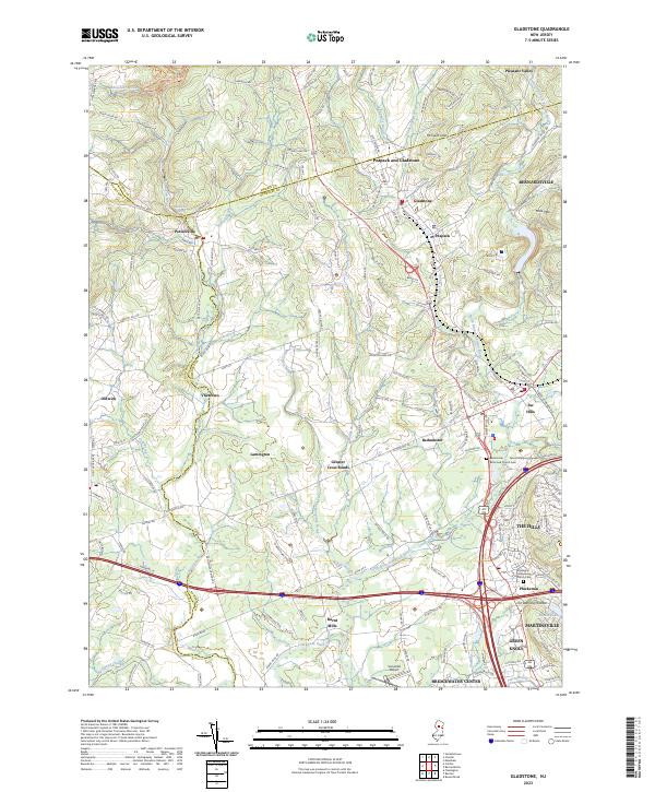
USGS Topo · Published 2023About this map
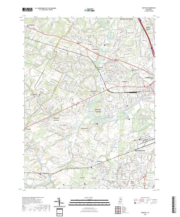
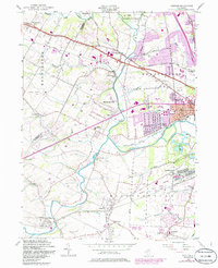
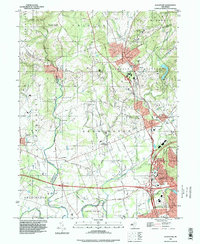
The confluence of the North Branch Raritan River and the South Branch Raritan River anchors this detailed survey of central New Jersey, where the landscape transitions from the suburban density of Somerville and Raritan to the more open fields of Branchburg Park. The industrial and hydrological history of the region is evident in the Raritan-Water Power Canal and the presence of several local airfields, including Solberg/Hunterdon Airport and Somerset Airport.
Find a feature on this map
57 named features on this map. Tap any name to fly to it.
Don’t see what you’re looking for? This feature index may not catch every label — zoom into the map to look around manually.
Map Details
Date Portrayed2023
Date Published2023
PublisherU.S. Geological Survey
Map TypeTopographic
Scale1:24000
Physical Dimensions24 x 29 inches
Editions of this 2023 Raritan Map
This is the sole edition of this map. No revisions or reprints were ever made.
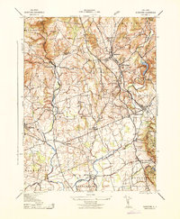
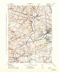
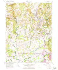
Historical Maps of Raritan Through Time
7 maps found
Featured Locations
- Bridgewater Township, NJ
- Hillsborough Township, NJ
- Somerville, NJ
- Bedminster Township, NJ
- Readington Township, NJ
Source Details
SourceU.S. Geological Survey
CopyrightPublic Domain