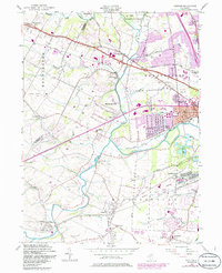
1955 Map of Raritan
USGS Topo · Published 1986About this map
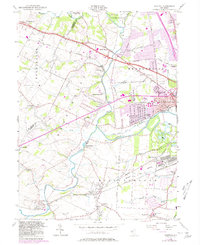
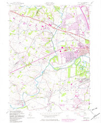
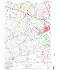
The Raritan River and its various tributaries, including Peters Brook and Royce Brook, define the drainage and settlement patterns across Somerset and Hunterdon counties. This mid-century landscape is transitioning from agrarian roots to suburban development, anchored by established centers like Whitehouse and Raritan. Industrial and utility infrastructure is evident through the presence of the U S Military Res and several substations, while the Conrail lines maintain the vital rail connections of the era.
Find a feature on this map
56 named features on this map. Tap any name to fly to it.
Don’t see what you’re looking for? This feature index may not catch every label — zoom into the map to look around manually.
Map Details
Editions of this 1955 Raritan Map
7 editions found
Other maps of this area

1888 · Princeton
USGS Topo · 1:62,500

1890 · High Bridge
USGS Topo · 1:62,500

1890 · Lambertville
USGS Topo · 1:62,500

1891 · Somerville
USGS Topo · 1:62,500

1891 · Lambertville
USGS Topo · 1:62,500

1893 · Somerville
USGS Topo · 1:62,500

1894 · Princeton
USGS Topo · 1:62,500

1894 · Lambertville
USGS Topo · 1:62,500

1898 · High Bridge
USGS Topo · 1:62,500

1898 · Somerville
USGS Topo · 1:62,500
Featured Places
- Bridgewater Township, NJ
- Hillsborough Township, NJ
- Readington Township, NJ
- Somerville, NJ
- Bedminster Township, NJ