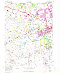
1955 Map of Raritan
USGS Topo · Published 1972About this map
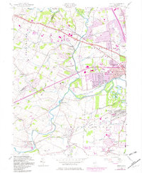
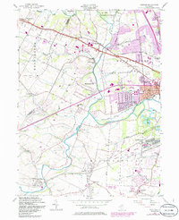
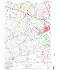
The North Branch Raritan River and South Branch Raritan River converge here, framing a landscape defined by industrial transitions and established colonial-era settlements. In the mid-1950s, the area remained a critical corridor for transport, with the Central RR of New Jersey, Lehigh Valley RR, and Reading RR all crossing the terrain to serve local depots like the North Branch Depot. A significant industrial relic is the Raritan Water Power Canal (Abandoned), which once diverted the river's energy for local mills. While suburban growth begins to appear near Raritan and Bradley Gardens, the southern reaches remain dominated by the massive U S Military Res (Belle Mead General Depot) and smaller crossroads hamlets such as Woods Tavern and Frankfort. Genealogical details are prominent, including family-named landmarks like Pulaski Road and historic burial grounds like Neshanic Cem.
Find a feature on this map
63 named features on this map. Tap any name to fly to it.
Don’t see what you’re looking for? This feature index may not catch every label — zoom into the map to look around manually.
Map Details
Editions of this 1955 Raritan Map
7 editions found
Other maps of this area

1888 · Princeton
USGS Topo · 1:62,500

1890 · High Bridge
USGS Topo · 1:62,500

1890 · Lambertville
USGS Topo · 1:62,500

1891 · Somerville
USGS Topo · 1:62,500

1891 · Lambertville
USGS Topo · 1:62,500

1893 · Somerville
USGS Topo · 1:62,500

1894 · Princeton
USGS Topo · 1:62,500

1894 · Lambertville
USGS Topo · 1:62,500

1898 · High Bridge
USGS Topo · 1:62,500

1898 · Somerville
USGS Topo · 1:62,500
Featured Places
- Bridgewater Township, NJ
- Hillsborough Township, NJ
- Readington Township, NJ
- Somerville, NJ
- Bedminster Township, NJ