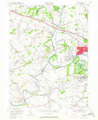
1955 Map of Raritan
USGS Topo · Published 1965About this map
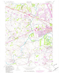
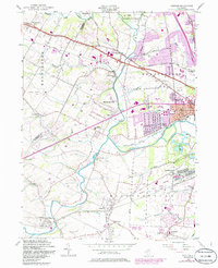
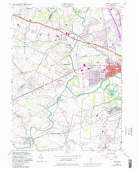
The North Branch Raritan River and its southern counterpart converge in this mid-century landscape of Somerset County. The industrial and residential center of Raritan is anchored by the Central RR of New Jersey, while smaller crossroads like North Branch Depot and Flagtown reflect the township's agricultural roots. A significant portion of the landscape is dedicated to the U S Military Res (Belle Mead General Depot), highlighting the area's strategic importance during and after the war. Beyond the developed boroughs, the terrain transitions into the townships of Readington, Bridgewater, and Hillsborough. Local aviation is represented by Solberg Airport and Somerset Airport, while the Lehigh Valley RR serves the southern rail corridor through Neshanic Sta and Roycefield Sta.
Find a feature on this map
61 named features on this map. Tap any name to fly to it.
Don’t see what you’re looking for? This feature index may not catch every label — zoom into the map to look around manually.
Map Details
Editions of this 1955 Raritan Map
7 editions found
Other maps of this area

1888 · Princeton
USGS Topo · 1:62,500

1890 · High Bridge
USGS Topo · 1:62,500

1890 · Lambertville
USGS Topo · 1:62,500

1891 · Somerville
USGS Topo · 1:62,500

1891 · Lambertville
USGS Topo · 1:62,500

1893 · Somerville
USGS Topo · 1:62,500

1894 · Princeton
USGS Topo · 1:62,500

1894 · Lambertville
USGS Topo · 1:62,500

1898 · High Bridge
USGS Topo · 1:62,500

1898 · Somerville
USGS Topo · 1:62,500
Featured Places
- Bridgewater Township, NJ
- Hillsborough Township, NJ
- Readington Township, NJ
- Somerville, NJ
- Bedminster Township, NJ