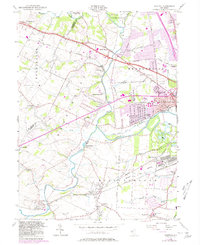
1955 Map of Raritan
USGS Topo · Published 1980About this map
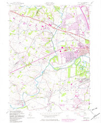
The South Branch and North Branch of the Raritan converge in a landscape defined by mid-century transit and local industry. Two major rail corridors, the Central RR of New Jersey and the Lehigh Valley RR, bisect the terrain, connecting established rail-oriented settlements like North Branch Depot and Neshanic Sta. While the town of Raritan shows significant growth, the map also preserves the site of the Raritan Water Power Canal (Abandoned), a relic of earlier industrial infrastructure. The presence of the U S Military Res (Belle Mead General Depot) on the southern edge underscores the area's strategic logistical importance during and after the war years. Local life is centered around rural landmarks like St Bernards Cem and schools such as Green Knoll Sch, providing a detailed look at Somerset County's mid-20th-century transition.
Find a feature on this map
57 named features on this map. Tap any name to fly to it.
Don’t see what you’re looking for? This feature index may not catch every label — zoom into the map to look around manually.
Map Details
Editions of this 1955 Raritan Map
7 editions found
Other maps of this area

1888 · Princeton
USGS Topo · 1:62,500

1890 · High Bridge
USGS Topo · 1:62,500

1890 · Lambertville
USGS Topo · 1:62,500

1891 · Somerville
USGS Topo · 1:62,500

1891 · Lambertville
USGS Topo · 1:62,500

1893 · Somerville
USGS Topo · 1:62,500

1894 · Princeton
USGS Topo · 1:62,500

1894 · Lambertville
USGS Topo · 1:62,500

1898 · High Bridge
USGS Topo · 1:62,500

1898 · Somerville
USGS Topo · 1:62,500
Featured Places
- Bridgewater Township, NJ
- Hillsborough Township, NJ
- Readington Township, NJ
- Somerville, NJ
- Bedminster Township, NJ