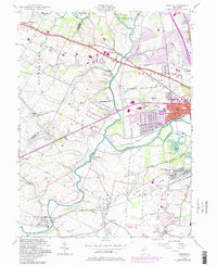
1955 Map of Raritan
USGS Topo · Published 1986About this map
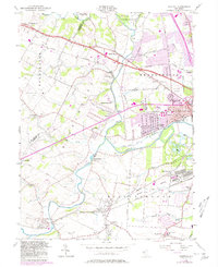
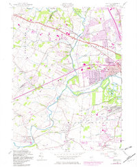
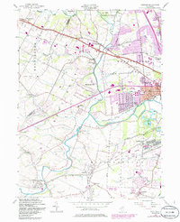
The Raritan River and its various branches define the landscape of Somerset County during this mid-century period, showing a transition from rural agricultural land to burgeoning suburban communities. The industrial and infrastructure history of the region is evident in the presence of the Raritan Water Power Canal (Abandoned) and the U S Military Res (General Depot), which occupied a significant footprint near Flagtown. The rail network, now under the Conrail moniker in later revisions, connects local hubs like Neshanic Sta and Roycefield Sta to larger centers like Raritan. Education and community life are represented by numerous local institutions, including Green Knoll Sch and the Washington Sch. Local landmarks such as the Solberg-Hunterdon Airport and several historic burial grounds, including St Bernards Cem and Neshanic Cem, provide important points of reference for genealogists and local historians tracing the development of Readington, Branchburg, and Hillsborough.
Find a feature on this map
62 named features on this map. Tap any name to fly to it.
Don’t see what you’re looking for? This feature index may not catch every label — zoom into the map to look around manually.
Map Details
Editions of this 1955 Raritan Map
7 editions found
Other maps of this area

1888 · Princeton
USGS Topo · 1:62,500

1890 · High Bridge
USGS Topo · 1:62,500

1890 · Lambertville
USGS Topo · 1:62,500

1891 · Somerville
USGS Topo · 1:62,500

1891 · Lambertville
USGS Topo · 1:62,500

1893 · Somerville
USGS Topo · 1:62,500

1894 · Princeton
USGS Topo · 1:62,500

1894 · Lambertville
USGS Topo · 1:62,500

1898 · High Bridge
USGS Topo · 1:62,500

1898 · Somerville
USGS Topo · 1:62,500
Featured Places
- Bridgewater Township, NJ
- Hillsborough Township, NJ
- Readington Township, NJ
- Somerville, NJ
- Bedminster Township, NJ