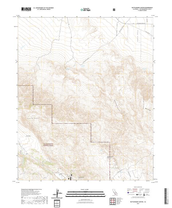
2021 Map of Rattlesnake Canyon
USGS Topo · Published 2021About this map
The San Bernardino National Forest dominates the southern reaches of this landscape, where the San Bernardino Mountains meet the Bighorn Mountains. This arid transition is marked by a complex network of canyons and high peaks, including Tip Top Mtn and the Granite Peaks. Historically significant water sources are scattered throughout the high desert terrain, appearing as named seeps such as Rattlesnake Spring, Two Hole Spring, and Viscera Spring.
Find a feature on this map
25 named features on this map. Tap any name to fly to it.
Don’t see what you’re looking for? This feature index may not catch every label — zoom into the map to look around manually.
Map Details
Editions of this 2021 Rattlesnake Canyon Map
This is the sole edition of this map. No revisions or reprints were ever made.
Other maps of this area

1901 · Southern California Sheet No. 1
USGS Topo · 1:250,000

1902 · San Gorgonio
USGS Topo · 1:125,000

1904 · Southern California Sheet No. 1
USGS Topo · 1:250,000

1947 · Lucerne Valley
USGS Topo · 1:62,500

1949 · Lucerne Valley
USGS Topo · 1:62,500

1953 · San Bernardino
USGS Topo · 1:250,000

1954 · San Gorgonio Mountain
USGS Topo · 1:62,500

1955 · Old Woman Springs
USGS Topo · 1:62,500

1955 · Morongo Valley
USGS Topo · 1:62,500

1956 · San Bernardino
USGS Topo · 1:250,000