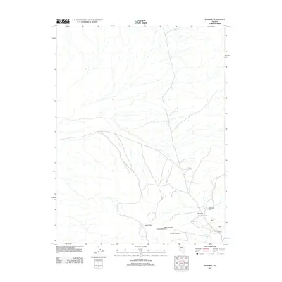
2011 Map of Rawhide
USGS Topo · Published 2011About this map
Rawhide is situated within the arid expanse of Churchill County, showing a landscape defined by industrial history and high-desert terrain. The town site is surrounded by a cluster of named peaks and ridges that reflect the region's mining heritage, including Chicago Mountain, Buckskin Mountain, and Black Eagle Hill. The concentration of topographic features such as Hooligan Hill and Grutt Hill near the main settlement suggests a dense area of historical activity, further evidenced by the National Mill located to the southeast.
Find a feature on this map
13 named features on this map. Tap any name to fly to it.
Don’t see what you’re looking for? This feature index may not catch every label — zoom into the map to look around manually.
Map Details
Editions of this 2011 Rawhide Map
This is the sole edition of this map. No revisions or reprints were ever made.
Other maps of this area

1908 · Carson Sink
USGS Topo · 1:250,000

1909 · Hawthorne
USGS Topo · 1:250,000

1910 · Carson Sink
USGS Topo · 1:250,000

1911 · Hawthorne
USGS Topo · 1:250,000

1915 · Hawthorne
USGS Topo · 1:250,000

1948 · Walker Lake
USGS Topo · 1:250,000

1951 · Allen Springs
USGS Topo · 1:62,500

1957 · Walker Lake
USGS Topo · 1:250,000

1957 · Reno
USGS Topo · 1:250,000

1959 · Reno
USGS Topo · 1:250,000