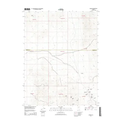
2014 Map of Rawhide
USGS Topo · Published 2014About this map
Rawhide sits at the center of a landscape defined by significant elevation changes and the legacy of Great Basin mining history. This 2014 survey captures the convergence of the Barnett Hills and the Sand Springs Range along the boundary of Churchill and Mineral Counties. The map detail reflects the complex geology that once drew prospectors, with numerous named summits such as Hooligan Hill, Balloon Hill, and Grutt Hill clustering around the settlement area.
Find a feature on this map
25 named features on this map. Tap any name to fly to it.
Don’t see what you’re looking for? This feature index may not catch every label — zoom into the map to look around manually.
Map Details
Editions of this 2014 Rawhide Map
This is the sole edition of this map. No revisions or reprints were ever made.
Other maps of this area

1908 · Carson Sink
USGS Topo · 1:250,000

1909 · Hawthorne
USGS Topo · 1:250,000

1910 · Carson Sink
USGS Topo · 1:250,000

1911 · Hawthorne
USGS Topo · 1:250,000

1915 · Hawthorne
USGS Topo · 1:250,000

1948 · Walker Lake
USGS Topo · 1:250,000

1951 · Allen Springs
USGS Topo · 1:62,500

1957 · Walker Lake
USGS Topo · 1:250,000

1957 · Reno
USGS Topo · 1:250,000

1959 · Reno
USGS Topo · 1:250,000