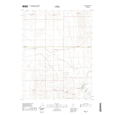
2021 Map of Rawhide
USGS Topo · Published 2021About this map
The Rawhide area, straddling the boundary of Churchill Co and Mineral Co, is defined by a cluster of named peaks and ridges that speak to its mineral-rich past. The landscape is dominated by the Sand Springs Range and the Rawhide Hills, where individual landmarks such as Balloon Hill, Hooligan Hill, and Grutt Hill surround the primary settlement. These features, along with Stingaree Gulch, outline the concentrated geography of this high-desert locale. Local history is anchored by the Rawhide Cem, located north of the town center, while broader terrain features like Chicago Mtn and Buckskin Mtn provide context for the remote topography. The grid of township and range lines, including t14n r32e, underscores the systematic surveying of this arid interior, where named heights like Squaw Peak and Crazy Hill serve as navigational markers across the desert floor.
Find a feature on this map
25 named features on this map. Tap any name to fly to it.
Don’t see what you’re looking for? This feature index may not catch every label — zoom into the map to look around manually.
Map Details
Editions of this 2021 Rawhide Map
This is the sole edition of this map. No revisions or reprints were ever made.
Other maps of this area

1908 · Carson Sink
USGS Topo · 1:250,000

1909 · Hawthorne
USGS Topo · 1:250,000

1910 · Carson Sink
USGS Topo · 1:250,000

1911 · Hawthorne
USGS Topo · 1:250,000

1915 · Hawthorne
USGS Topo · 1:250,000

1948 · Walker Lake
USGS Topo · 1:250,000

1951 · Allen Springs
USGS Topo · 1:62,500

1957 · Walker Lake
USGS Topo · 1:250,000

1957 · Reno
USGS Topo · 1:250,000

1959 · Reno
USGS Topo · 1:250,000