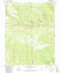
1986 Map of Ray Mesa
USGS Topo · Published 1986About this map
Ray Mesa and the surrounding high desert of the Utah-Colorado borderlands define this mid-1980s extraction landscape. The map reveals an intensive history of uranium and vanadium mining, with a high concentration of operations such as the Vanadium Queen Mine, Uranium Girl Mine, and Yellow Bird Mines scattered across the plateau. The terrain is deeply incised by Horsethief Canyon and Sharp Canyon, while the northern portion is protected within the Manti-La Sal National Forest. A remote Landing Strip and various Air Shaft labels point to the technical infrastructure required for deep-earth mining in this arid environment. This survey captures a specific moment in the regional mining economy, documenting family-named or colorful prospects like the Maud Mine and Too High Mine before many of these sites were reclaimed or faded from active use.
Find a feature on this map
50 named features on this map. Tap any name to fly to it.
Don’t see what you’re looking for? This feature index may not catch every label — zoom into the map to look around manually.
Map Details
Editions of this 1986 Ray Mesa Map
This is the sole edition of this map. No revisions or reprints were ever made.
Other maps of this area

1885 · La Sal
USGS Topo · 1:250,000

1916 · Paradox Valley
USGS Topo · 1:125,000

1922 · Paradox Valley
USGS Topo · 1:125,000

1948 · Roc Creek
USGS Topo · 1:24,000

1948 · Paradox
USGS Topo · 1:24,000

1949 · Paradox
USGS Topo · 1:24,000

1949 · Roc Creek
USGS Topo · 1:24,000
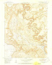
1949 · Anderson Mesa
USGS Topo · 1:24,000
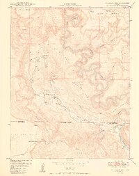
1950 · Anderson Mesa
USGS Topo · 1:24,000

1954 · Mt Peale 1 SE
USGS Topo · 1:24,000