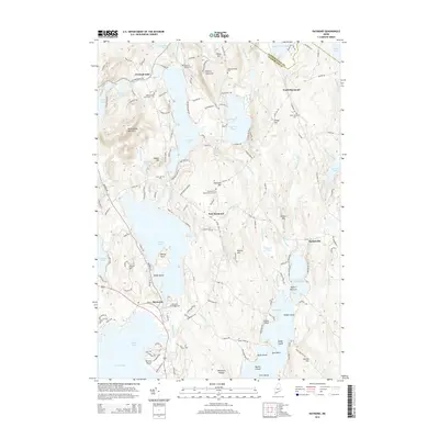
2014 Map of Raymond
USGS Topo · Published 2014About this map
The Lakes Region of Cumberland County is defined by a dense network of interconnected waterways and historical hamlets in this 2014 survey. The town of Raymond sits at the southern reach, positioned between the expansive Sebago Lake and Panther Pond. The landscape is dotted with ancestral markers, including the Raymond Village Cem and Riverside Cem, alongside established local landmarks like the Raymond Hill Baptist Church. To the north and east, smaller settlements like North Raymond and Suckerville are connected by rural routes such as Webbs Mills Rd and Egypt Rd.
Find a feature on this map
73 named features on this map. Tap any name to fly to it.
Don’t see what you’re looking for? This feature index may not catch every label — zoom into the map to look around manually.
Map Details
Editions of this 2014 Raymond Map
This is the sole edition of this map. No revisions or reprints were ever made.
Other maps of this area

1894 · Gray
USGS Topo · 1:62,500

1896 · Norway
USGS Topo · 1:62,500

1896 · Sebago
USGS Topo · 1:62,500

1898 · Gray
USGS Topo · 1:62,500

1908 · Poland
USGS Topo · 1:62,500

1940 · Poland
USGS Topo · 1:62,500

1942 · Poland
USGS Topo · 1:62,500

1942 · Gray
USGS Topo · 1:62,500

1942 · Sebago Lake
USGS Topo · 1:62,500

1943 · Sebago Lake
USGS Topo · 1:62,500