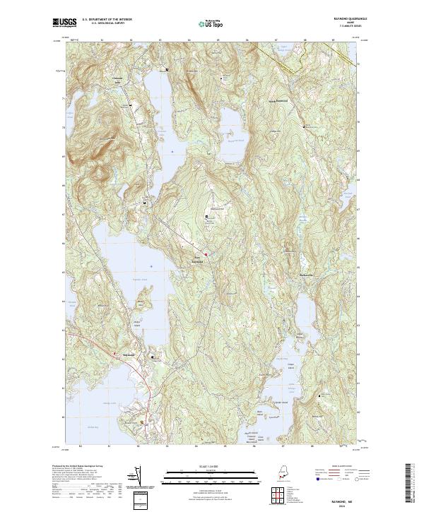
2024 Map of Raymond
USGS Topo · Published 2024About this map
Sebago Lake and the interconnected waters of Panther Pond and Crescent Lake define this portion of the Maine lake district. The landscape is characterized by its glacial hydrology, where smaller basins like Nubble Pond and Coffee Pond are linked by seasonal drainages such as Rolfe Brook and the Tenny River. Settlement clusters are found at Raymond, North Raymond, and the curiously named Suckerville, with the higher elevations of Rattlesnake Mtn and Raymond Hill providing a distinct topographic relief above the water-filled lowlands.
Find a feature on this map
168 named features on this map. Tap any name to fly to it.
Don’t see what you’re looking for? This feature index may not catch every label — zoom into the map to look around manually.
Map Details
Editions of this 2024 Raymond Map
This is the sole edition of this map. No revisions or reprints were ever made.
Other maps of this area

1894 · Gray
USGS Topo · 1:62,500

1896 · Norway
USGS Topo · 1:62,500

1896 · Sebago
USGS Topo · 1:62,500

1898 · Gray
USGS Topo · 1:62,500

1908 · Poland
USGS Topo · 1:62,500

1940 · Poland
USGS Topo · 1:62,500

1942 · Poland
USGS Topo · 1:62,500

1942 · Gray
USGS Topo · 1:62,500

1942 · Sebago Lake
USGS Topo · 1:62,500

1943 · Sebago Lake
USGS Topo · 1:62,500