Loading...
Loading map...2021 Map of Raymore
USGS Topo · Published 2021About this map
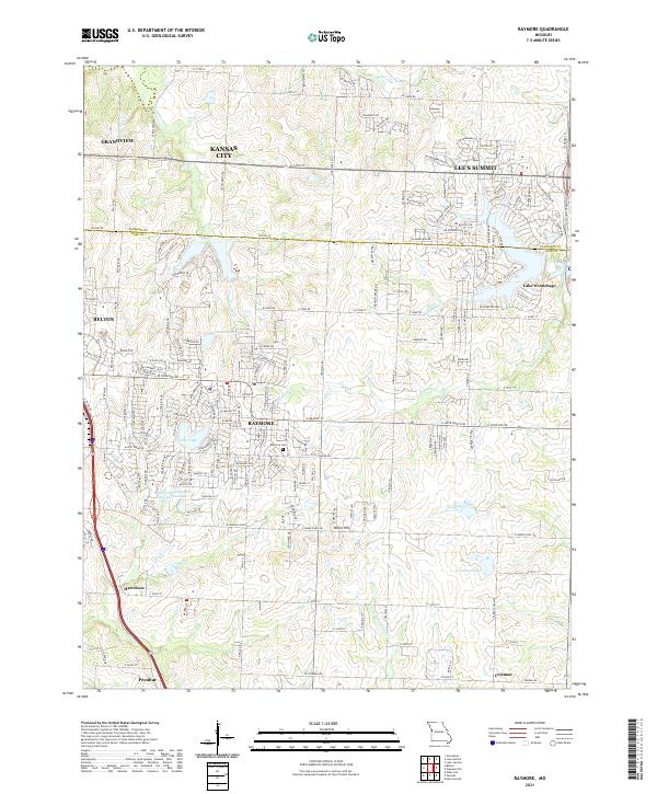
Raymore and the surrounding Cass County suburbs are documented here at a moment of significant residential expansion. The map detail highlights the intricate suburban street networks of Lee's Summit and Belton, which push toward the county line near Grandview. Local history is preserved through the marking of the Raymore Cem and smaller settlements like Harrelson and Coleman.
Find a feature on this map
177 named features on this map. Tap any name to fly to it.
Don’t see what you’re looking for? This feature index may not catch every label — zoom into the map to look around manually.
Map Details
Date Portrayed2021
Date Published2021
PublisherU.S. Geological Survey
Map TypeTopographic
Scale1:24000
Physical Dimensions24 x 29 inches
Editions of this 2021 Raymore Map
This is the sole edition of this map. No revisions or reprints were ever made.
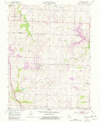
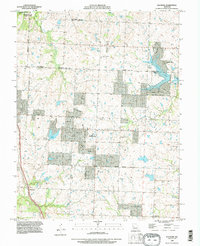
Historical Maps of Raymore Through Time
Featured Locations
Source Details
SourceU.S. Geological Survey
CopyrightPublic Domain