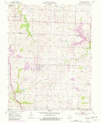
1954 Map of Raymore
USGS Topo · Published 1982About this map
Raymore stands at the center of this Cass County landscape, a community transitioning as the Kansas City metropolitan area expanded southward in the mid-20th century. The town's historical layout is clearly visible, anchored by the Raymore Cem and a small grid of streets that give way to the surrounding townships of Washington, Prairie, and Peculiar. The local economy of the 1950s, updated through 1981, is reflected in the path of the Burlington Northern railroad and the presence of a rural Landing Strip, alongside the small settlements of Harrelson and Coleman.
Find a feature on this map
23 named features on this map. Tap any name to fly to it.
Don’t see what you’re looking for? This feature index may not catch every label — zoom into the map to look around manually.
Map Details
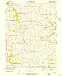
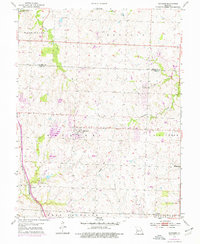
Editions of this 1954 Raymore Map
3 editions found
Other maps of this area

1887 · Harrisonville
USGS Topo · 1:125,000

1887 · Olathe
USGS Topo · 1:125,000

1892 · Harrisonville
USGS Topo · 1:125,000

1893 · Olathe
USGS Topo · 1:125,000

1894 · Harrisonville
USGS Topo · 1:125,000

1934 · Grandview
USGS Topo · 1:24,000

1934 · Lees Summit
USGS Topo · 1:24,000

1934 · Woods Chapel
USGS Topo · 1:24,000

1939 · Grandview
USGS Topo · 1:31,680

1939 · Lees Summit
USGS Topo · 1:31,680