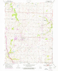
1954 Map of Raymore
USGS Topo · Published 1976About this map
Raymore sits at the heart of this mid-century topographic study, which captures the transition of northern Cass County before the expansion of the Kansas City metropolitan area. The landscape is defined by the drainage systems of Middle Big Creek and the Little Blue River, with Lumpkins Fork carving through the northwest corner. A clear developmental timeline is visible through purple-tinted revisions, showing growth around the original town site and near the St Louis San Francisco railroad line. Genealogical interest is anchored by the Raymore Cem and Bethany Ch, while the smaller settlements of Harrelson and Coleman mark outlying rail and road junctions. The map documents the rural character of Washington, Prairie, and West Peculiar townships during a period of steady change.
Find a feature on this map
19 named features on this map. Tap any name to fly to it.
Don’t see what you’re looking for? This feature index may not catch every label — zoom into the map to look around manually.
Map Details
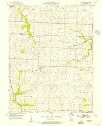
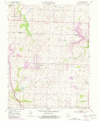
Editions of this 1954 Raymore Map
3 editions found
Other maps of this area

1887 · Harrisonville
USGS Topo · 1:125,000

1887 · Olathe
USGS Topo · 1:125,000

1892 · Harrisonville
USGS Topo · 1:125,000

1893 · Olathe
USGS Topo · 1:125,000

1894 · Harrisonville
USGS Topo · 1:125,000

1934 · Grandview
USGS Topo · 1:24,000

1934 · Lees Summit
USGS Topo · 1:24,000

1934 · Woods Chapel
USGS Topo · 1:24,000

1939 · Grandview
USGS Topo · 1:31,680

1939 · Lees Summit
USGS Topo · 1:31,680