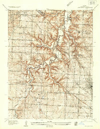
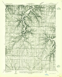
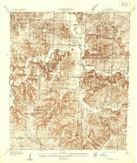
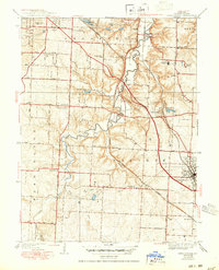
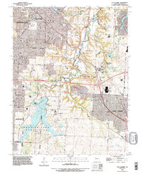
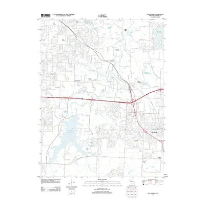
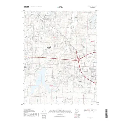
1934 Map of Lees Summit
USGS Topo · Published 1934About this map
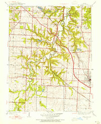
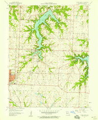
The Little Blue River snakes through the center of this 1934 survey, defining the rugged drainage patterns of western Jackson County before widespread suburban expansion. The settlement of Lees Summit occupies the southeast corner, serving as a hub for the surrounding agricultural landscape of Brooping Prairie. This era is characterized by a dense network of country schools, including Cedar Hill Sch and Rockford Sch, which anchored the rural communities between the winding river and the growing roadways like State Hwy No 35.
Find a feature on this map
41 named features on this map. Tap any name to fly to it.
Don’t see what you’re looking for? This feature index may not catch every label — zoom into the map to look around manually.
Map Details
Editions of this 1934 Lees Summit Map
This is the sole edition of this map. No revisions or reprints were ever made.
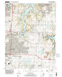
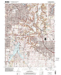
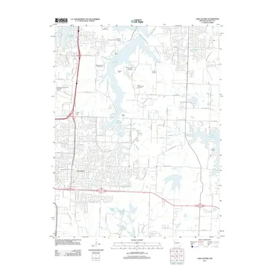
Historical Maps of Kansas City Through Time
23 maps found
1934 Lees Summit
Jackson County, MO
1934 Woods Chapel
Jackson County, MO
1935 Tarsney
Jackson County, MO
1939 Lees Summit
Jackson County, MO
1949 Lees Summit
Jackson County, MO
1955 Tarsney
Jackson County, MO
1957 Lees Summit
Jackson County, MO
1957 Tarsney
Jackson County, MO
1957 Woods Chapel
Jackson County, MO
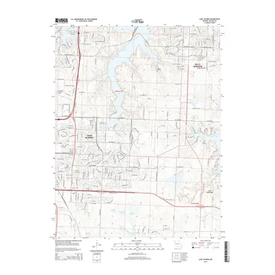
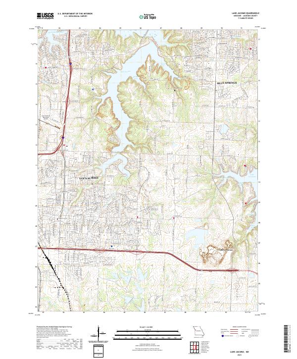
1963 Lake Jacomo
Jackson County, MO
1964 Lees Summit
Jackson County, MO
1990 Lake Jacomo
Jackson County, MO
1990 Lees Summit
Jackson County, MO
1996 Lake Jacomo
Jackson County, MO
1996 Lees Summit
Jackson County, MO
2011 Lake Jacomo
Jackson County, MO
2011 Lees Summit
Jackson County, MO
2015 Lake Jacomo
Jackson County, MO
2015 Lees Summit
Jackson County, MO
2017 Lake Jacomo
Jackson County, MO
2017 Lees Summit
Jackson County, MO
2021 Lake Jacomo
Jackson County, MO
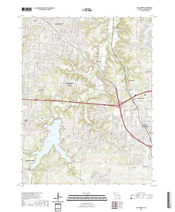
2021 Lees Summit
Jackson County, MO