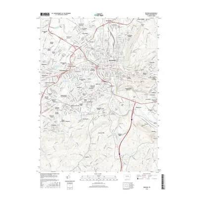
2016 Map of Reading
USGS Topo · Published 2016About this map
Wyomissing and the surrounding suburban developments of Spring Ridge, Greenfields, and Whitfield dominate the western banks of the Schuylkill River as it winds through this 2016 survey of Berks County. The area’s academic and industrial foundations are clearly visible, with Albright College and Alvernia College anchoring local neighborhoods while the Reading Regional Airport serves as a modern aviation hub. The landscape is a study in transport evolution, preserving historical infrastructure like the Allegheny Aqueduct and the Union Canal Trail alongside the busy corridors of the Reading railroad.
Find a feature on this map
135 named features on this map. Tap any name to fly to it.
Don’t see what you’re looking for? This feature index may not catch every label — zoom into the map to look around manually.
Map Details
Editions of this 2016 Reading Map
This is the sole edition of this map. No revisions or reprints were ever made.
Other maps of this area

1894 · Reading
USGS Topo · 1:62,500

1902 · Wernersville
USGS Topo · 1:62,500

1905 · Honey Brook
USGS Topo · 1:62,500

1906 · New Holland
USGS Topo · 1:62,500

1907 · Honeybrook
USGS Topo · 1:62,500

1908 · New Holland
USGS Topo · 1:62,500

1913 · Reading
USGS Topo · 1:62,500

1915 · Reading
USGS Topo · 1:62,500

1941 · Honeybrook
USGS Topo · 1:62,500

1941 · New Holland
USGS Topo · 1:62,500