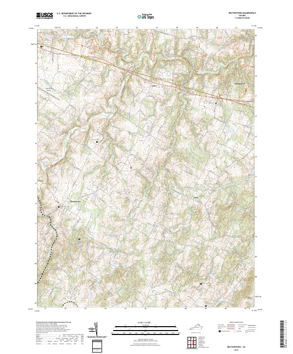
2022 Map of Rectortown
USGS Topo · Published 2022About this map
Rectortown serves as a focal point for this section of Northern Virginia, where the landscape is defined by its deep agricultural roots and network of historic estates. The terrain transitions from the heights of Fortune Mountain and Fishback Ridge toward the riparian corridors of Goose Creek and Cromwells Run. This region maintains a high density of family and community landmarks, evidenced by the numerous burial grounds such as Solon Cem, Ivy Hill Cem, and the Odd Fellows Cem.
Find a feature on this map
107 named features on this map. Tap any name to fly to it.
Don’t see what you’re looking for? This feature index may not catch every label — zoom into the map to look around manually.
Map Details
Editions of this 2022 Rectortown Map
This is the sole edition of this map. No revisions or reprints were ever made.
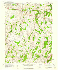
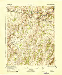
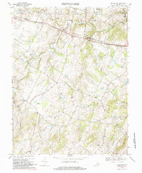
Historical Maps of Middleburg Through Time
4 maps found