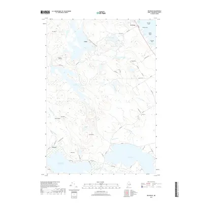
2018 Map of Red Beach
USGS Topo · Published 2018About this map
Red Beach and Calais sit at the northeastern edge of this coastal Maine landscape, where the waters of Red Beach Cove and Sunset Cove meet the rugged shoreline. The interior is a complex network of glacial lakes and low peaks, including Moneymaker Lake, Shattuck Lake, and the expansive Boyden Lake to the south. Significant elevations like Mt Seeall and Howard Lake Mtn overlook a terrain defined by drainage systems such as Western Stream and Dead Meadow Stream.
Find a feature on this map
68 named features on this map. Tap any name to fly to it.
Don’t see what you’re looking for? This feature index may not catch every label — zoom into the map to look around manually.
Map Details
Editions of this 2018 Red Beach Map
This is the sole edition of this map. No revisions or reprints were ever made.
Other maps of this area

1907 · Eastport
USGS Topo · 1:48,000

1908 · Eastport
USGS Topo · 1:62,500

1929 · Calais
USGS Topo · 1:48,000

1929 · Robbinston
USGS Topo · 1:48,000

1931 · Robbinston
USGS Topo · 1:62,500

1932 · Calais
USGS Topo · 1:62,500

1941 · Gardner Lake
USGS Topo · 1:62,500

1943 · Gardner Lake
USGS Topo · 1:62,500

1943 · Eastport
USGS Topo · 1:62,500

1945 · Eastport
USGS Topo · 1:62,500