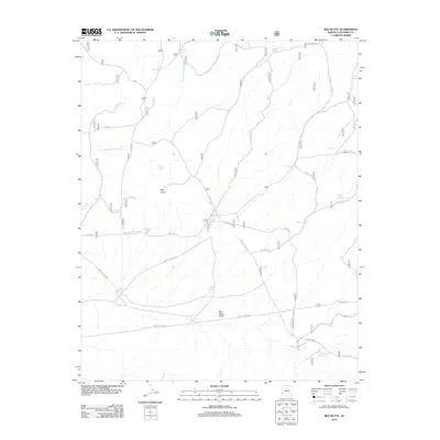
2012 Map of Red Butte
USGS Topo · Published 2012About this map
Red Butte rises as a prominent landmark above a high-plateau landscape defined by an intricate network of ranching and forest service infrastructure in Coconino County. The region's reliance on managed water sources is evident in the dense distribution of man-made basins, ranging from the Nagiller Tank and Curley Wallace Tank to the more substantial Hull Reservoir. These features, along with intermittent drainages like Little Red Horse Wash and Blue Stem Wash, dictate the movement of both livestock and wildlife across this arid terrain.
Find a feature on this map
38 named features on this map. Tap any name to fly to it.
Don’t see what you’re looking for? This feature index may not catch every label — zoom into the map to look around manually.
Map Details
Editions of this 2012 Red Butte Map
This is the sole edition of this map. No revisions or reprints were ever made.
Other maps of this area

1886 · San Francisco Mtns
USGS Topo · 1:250,000

1886 · Chino
USGS Topo · 1:250,000

1891 · San Francisco Mtns
USGS Topo · 1:250,000

1891 · Chino
USGS Topo · 1:250,000

1894 · San Francisco Mtns
USGS Topo · 1:250,000

1899 · San Francisco Mtns
USGS Topo · 1:250,000

1947 · Flagstaff
USGS Topo · 1:250,000

1948 · Williams
USGS Topo · 1:250,000

1954 · Flagstaff
USGS Topo · 1:250,000

1954 · Williams
USGS Topo · 1:250,000