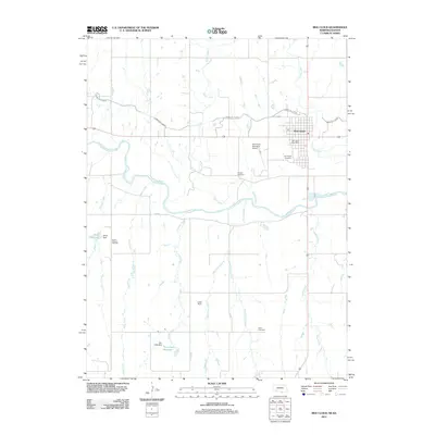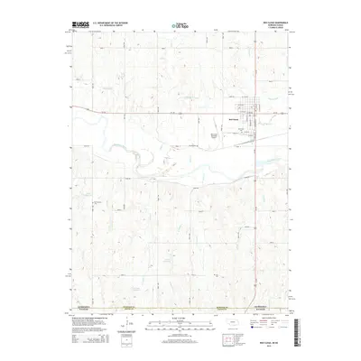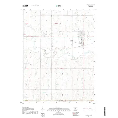
1974 Map of Red Cloud
USGS Topo · Published 1977About this map
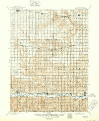
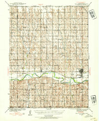
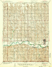
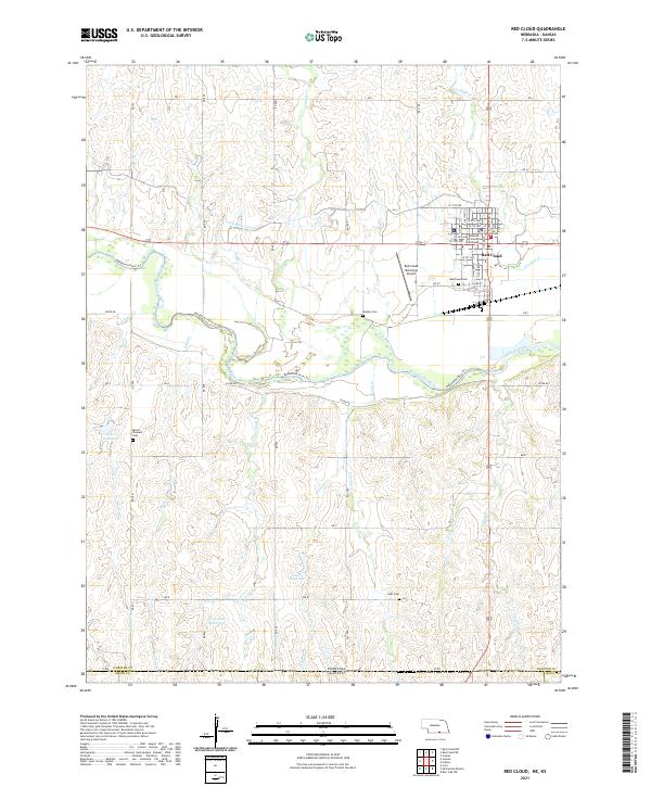
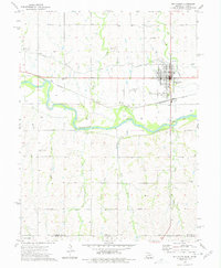
Red Cloud anchors this 1970s survey, situated where the Burlington Northern railroad meets the winding course of the Republican River. The landscape is a study in Midwestern water management, defined by the irrigation infrastructure of the Franklin Canal and its intricate system of siphons that traverse the rolling terrain above the river valley. Notable historical markers like the Indian Oven Ruins northwest of town hint at a deeper human history long before the modern grid was established.
Find a feature on this map
28 named features on this map. Tap any name to fly to it.
Don’t see what you’re looking for? This feature index may not catch every label — zoom into the map to look around manually.
Map Details
Editions of this 1974 Red Cloud Map
This is the sole edition of this map. No revisions or reprints were ever made.
Historical Maps of Red Cloud Through Time
9 maps found