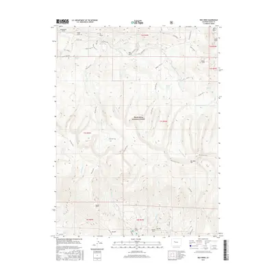
2016 Map of Red Creek
USGS Topo · Published 2016About this map
White River National Forest covers much of this high-elevation landscape in Eagle County, defined by a complex network of pack trails and water sources. The terrain is deeply incised by drainages such as Gypsum Creek and Red Creek, which connect higher ridges like Red Table Mtn to the valleys below. The presence of features like Schoolhouse Gulch, Saloon Gulch, and Red Hill suggest a history of early land use and local naming conventions tied to specific camps or landmarks. High-country water management and recreation are evident through the Lede Reservoir and clusters of alpine water bodies including Ragged Lakes and Muckey Lake. A dense system of historical routes, including the Red Creek Trail and Mount Thomas Trail, illustrates how this area was navigated long before modern road development reached into these reaches of the forest.
Find a feature on this map
58 named features on this map. Tap any name to fly to it.
Don’t see what you’re looking for? This feature index may not catch every label — zoom into the map to look around manually.
Map Details
Editions of this 2016 Red Creek Map
This is the sole edition of this map. No revisions or reprints were ever made.
Other maps of this area

1909 · Mount Jackson
USGS Topo · 1:125,000

1911 · Mount Jackson
USGS Topo · 1:125,000

1957 · Leadville
USGS Topo · 1:250,000

1959 · Leadville
USGS Topo · 1:250,000

1960 · Leadville
USGS Topo · 1:250,000
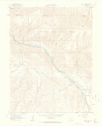
1961 · Woody Creek
USGS Topo · 1:24,000

1961 · Ruedi
USGS Topo · 1:24,000
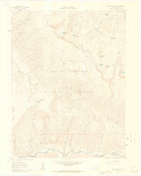
1961 · Toner Reservoir
USGS Topo · 1:24,000

1961 · Red Creek
USGS Topo · 1:24,000

1962 · Leadville
USGS Topo · 1:250,000