
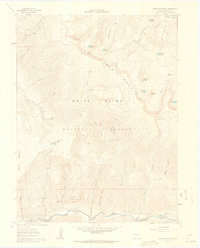
1961 Map of Red Creek
USGS Topo · Published 1963About this map
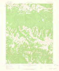
Red Table Mountain dominates this 1961 landscape in Eagle County, a massive landform within the White River National Forest. The map documents a complex drainage network characterized by numerous named gulches and creeks, such as Frenchman Gulch, Saloon Gulch, and Gypsum Creek. These waterways provide a clear picture of the high-altitude topography before modern development, marking specific sources like Allred Spring and Antoine Spring.
Find a feature on this map
35 named features on this map. Tap any name to fly to it.
Don’t see what you’re looking for? This feature index may not catch every label — zoom into the map to look around manually.
Map Details
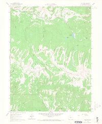
Editions of this 1961 Red Creek Map
5 editions found

Other maps of this area

1909 · Mount Jackson
USGS Topo · 1:125,000

1911 · Mount Jackson
USGS Topo · 1:125,000

1957 · Leadville
USGS Topo · 1:250,000

1959 · Leadville
USGS Topo · 1:250,000

1960 · Leadville
USGS Topo · 1:250,000
1961 · Woody Creek
USGS Topo · 1:24,000

1961 · Ruedi
USGS Topo · 1:24,000
1961 · Toner Reservoir
USGS Topo · 1:24,000

1962 · Leadville
USGS Topo · 1:250,000
1962 · Suicide Mountain
USGS Topo · 1:24,000