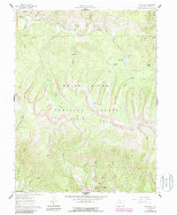
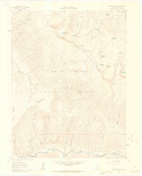
1961 Map of Red Creek
USGS Topo · Published 1988About this map
Red Table Mountain dominates the center of this landscape, its steep slopes descending into a complex system of drainages within the White River National Forest. The map documents a rugged high-altitude environment characterized by many springs and small lakes, including Muskey Lake, Rock Lake, and the naturally occurring Ragged Lakes. Human modification of the water system is evident at the L. E. D. E. Reservoir, while the southern reaches show the development of recreational facilities like Little Maud Campground and Mollie B Campground near the water's edge.
Find a feature on this map
43 named features on this map. Tap any name to fly to it.
Don’t see what you’re looking for? This feature index may not catch every label — zoom into the map to look around manually.
Map Details
Editions of this 1961 Red Creek Map
5 editions found

Other maps of this area

1909 · Mount Jackson
USGS Topo · 1:125,000

1911 · Mount Jackson
USGS Topo · 1:125,000

1957 · Leadville
USGS Topo · 1:250,000

1959 · Leadville
USGS Topo · 1:250,000

1960 · Leadville
USGS Topo · 1:250,000
1961 · Woody Creek
USGS Topo · 1:24,000

1961 · Ruedi
USGS Topo · 1:24,000
1961 · Toner Reservoir
USGS Topo · 1:24,000

1961 · Red Creek
USGS Topo · 1:24,000

1962 · Leadville
USGS Topo · 1:250,000