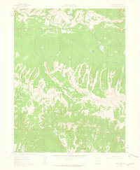
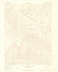
1961 Map of Red Creek
USGS Topo · Published 1963About this map
Red Table Mountain dominates this portion of the White River National Forest, its high ridges forming a massive divider between the watersheds of Gypsum Creek and the Fryingpan River. The 1961 survey documents a landscape of high-altitude hydrology, where smaller alpine features like Muckey Lake, Rock Lake, and the cluster of Ragged Lakes sit perched above steep drainages. In the south, the terrain falls away toward Saloon Gulch and Frenchman Creek, suggesting a history of early mountaineering and perhaps prospector-named landmarks. The map also records early recreation and management infrastructure, such as the Red Creek Campground and the L. E. D. E. Reservoir, alongside a network of high-country routes like the Pack Trail winding through Cabin Creek. Named gulches such as Schoolhouse Gulch and Bear Gulch reflect the local nomenclature of the Eagle County backcountry during the mid-twentieth century.
Find a feature on this map
33 named features on this map. Tap any name to fly to it.
Don’t see what you’re looking for? This feature index may not catch every label — zoom into the map to look around manually.
Map Details
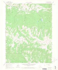
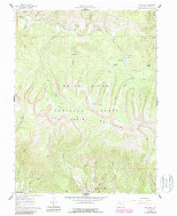
Editions of this 1961 Red Creek Map
5 editions found

Other maps of this area

1909 · Mount Jackson
USGS Topo · 1:125,000

1911 · Mount Jackson
USGS Topo · 1:125,000

1957 · Leadville
USGS Topo · 1:250,000

1959 · Leadville
USGS Topo · 1:250,000

1960 · Leadville
USGS Topo · 1:250,000
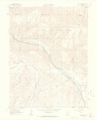
1961 · Woody Creek
USGS Topo · 1:24,000

1961 · Ruedi
USGS Topo · 1:24,000
1961 · Toner Reservoir
USGS Topo · 1:24,000

1961 · Red Creek
USGS Topo · 1:24,000

1962 · Leadville
USGS Topo · 1:250,000