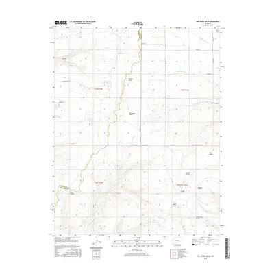
2016 Map of Red Horse Gulch
USGS Topo · Published 2016About this map
Red Horse Gulch carves through this high-altitude landscape along the border of Montezuma and La Plata counties, defining a region where water management and complex topography intersect. The presence of First Reservoir, Floyd Reservoir, and Peterson Reservoir highlights the necessity of stored water in an arid environment shaped by deep drainage systems like Wheeler Draw and Silva Draw.
Find a feature on this map
30 named features on this map. Tap any name to fly to it.
Don’t see what you’re looking for? This feature index may not catch every label — zoom into the map to look around manually.
Map Details
Editions of this 2016 Red Horse Gulch Map
This is the sole edition of this map. No revisions or reprints were ever made.
Other maps of this area

1889 · Chaco
USGS Topo · 1:250,000

1892 · Chaco
USGS Topo · 1:250,000

1912 · Soda Canyon
USGS Topo · 1:62,500

1913 · Red Mesa
USGS Topo · 1:62,500

1915 · Soda Canyon
USGS Topo · 1:62,500

1954 · Shiprock
USGS Topo · 1:250,000

1956 · Cortez
USGS Topo · 1:250,000

1958 · Cortez
USGS Topo · 1:250,000

1958 · Shiprock
USGS Topo · 1:250,000

1959 · Shiprock
USGS Topo · 1:250,000