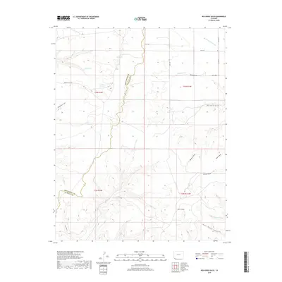
2019 Map of Red Horse Gulch
USGS Topo · Published 2019About this map
Barker Dome and the surrounding high desert terrain define this corner of the Four Corners region, where the boundary between Montezuma County and La Plata County meets the New Mexico state line. The landscape is heavily dissected by drainage systems like Barker Arroyo and Wheeler Arroyo, which carve deep paths through the local geology. In an area where water is the primary architect of the land, small-scale catchments such as First Reservoir, Peterson Reservoir, and Floyd Reservoir point to the critical role of water management in supporting the livestock or ranching efforts typical of this arid borderland. Transport is limited to rugged corridors like Johnson Canyon Rd and various county roads, reflecting a sparse settlement pattern dominated by topographic features rather than urban centers. This 2019 survey documents the complex network of arroyos and draws, including Red Horse Gulch and Maverick Gulch, that dictate the movement of both water and people across the high plateau.
Find a feature on this map
28 named features on this map. Tap any name to fly to it.
Don’t see what you’re looking for? This feature index may not catch every label — zoom into the map to look around manually.
Map Details
Editions of this 2019 Red Horse Gulch Map
This is the sole edition of this map. No revisions or reprints were ever made.
Other maps of this area

1889 · Chaco
USGS Topo · 1:250,000

1892 · Chaco
USGS Topo · 1:250,000

1912 · Soda Canyon
USGS Topo · 1:62,500

1913 · Red Mesa
USGS Topo · 1:62,500

1915 · Soda Canyon
USGS Topo · 1:62,500

1954 · Shiprock
USGS Topo · 1:250,000

1956 · Cortez
USGS Topo · 1:250,000

1958 · Cortez
USGS Topo · 1:250,000

1958 · Shiprock
USGS Topo · 1:250,000

1959 · Shiprock
USGS Topo · 1:250,000