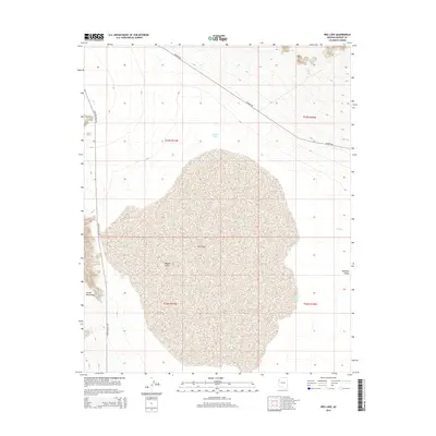
2014 Map of Red Lake
USGS Topo · Published 2014About this map
Red Lake dominates the central basin of this arid landscape, its expansive playa serving as a geographic anchor within the Mojave Desert. The map reveals a land defined by water scarcity and management, where artificial catchments like Valley Tank, Lake Tank, and N Tank are strategically placed to support local ranching or wildlife across the Hualapai Valley. To the southwest, the terrain rises sharply into the Cerbat Mountains, creating a striking elevation contrast with the flat lakebed below.
Find a feature on this map
14 named features on this map. Tap any name to fly to it.
Don’t see what you’re looking for? This feature index may not catch every label — zoom into the map to look around manually.
Map Details
Editions of this 2014 Red Lake Map
This is the sole edition of this map. No revisions or reprints were ever made.
Other maps of this area

1886 · Diamond Creek
USGS Topo · 1:250,000

1886 · Camp Mohave
USGS Topo · 1:250,000

1892 · Diamond Creek
USGS Topo · 1:250,000

1892 · Camp Mohave
USGS Topo · 1:250,000

1942 · Camp Mohave
USGS Topo · 1:250,000

1947 · Kingman
USGS Topo · 1:250,000

1948 · Kingman
USGS Topo · 1:250,000

1948 · Williams
USGS Topo · 1:250,000

1954 · Kingman
USGS Topo · 1:250,000

1954 · Williams
USGS Topo · 1:250,000