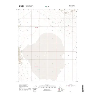
2018 Map of Red Lake
USGS Topo · Published 2018About this map
Red Lake dominates this portion of the Hualapai Valley, appearing here as a large ephemeral basin within the arid expanse of the Mojave Desert. The map illustrates a landscape defined by water management and topography, where the eastern foothills of the Cerbat Mountains descend toward the valley floor. A network of livestock water sources is distributed across the terrain, including Lake Tank, Valley Tank, and Well Tank, indicating the area's use for ranching and grazing.
Find a feature on this map
15 named features on this map. Tap any name to fly to it.
Don’t see what you’re looking for? This feature index may not catch every label — zoom into the map to look around manually.
Map Details
Editions of this 2018 Red Lake Map
This is the sole edition of this map. No revisions or reprints were ever made.
Other maps of this area

1886 · Diamond Creek
USGS Topo · 1:250,000

1886 · Camp Mohave
USGS Topo · 1:250,000

1892 · Diamond Creek
USGS Topo · 1:250,000

1892 · Camp Mohave
USGS Topo · 1:250,000

1942 · Camp Mohave
USGS Topo · 1:250,000

1947 · Kingman
USGS Topo · 1:250,000

1948 · Kingman
USGS Topo · 1:250,000

1948 · Williams
USGS Topo · 1:250,000

1954 · Kingman
USGS Topo · 1:250,000

1954 · Williams
USGS Topo · 1:250,000