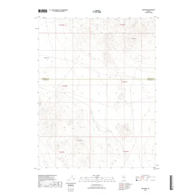
2018 Map of Red Ridge
USGS Topo · Published 2018About this map
Red Ridge and the surrounding high desert terrain define this corner of the Great Basin as it appeared in the early 21st century. The landscape is characterized by prominent geological formations, including the Barnett Hills to the northeast and the broad expanse of Rawhide Flats in the northwest. This 2018 survey captures a remote portion of the Nevada interior, where the county line between Churchill County and Mineral County cuts a straight east-west path across the topography. The map illustrates a region largely defined by its natural relief and public land survey divisions, reflecting the persistence of open range and undeveloped territory in the American West. Historical interest lies in the network of unpaved roads and tracks that navigate the ridges and basins, providing access to this isolated landscape.
Find a feature on this map
10 named features on this map. Tap any name to fly to it.
Don’t see what you’re looking for? This feature index may not catch every label — zoom into the map to look around manually.
Map Details
Editions of this 2018 Red Ridge Map
This is the sole edition of this map. No revisions or reprints were ever made.
Other maps of this area

1908 · Carson Sink
USGS Topo · 1:250,000

1909 · Hawthorne
USGS Topo · 1:250,000

1910 · Carson Sink
USGS Topo · 1:250,000

1911 · Hawthorne
USGS Topo · 1:250,000

1915 · Hawthorne
USGS Topo · 1:250,000

1948 · Walker Lake
USGS Topo · 1:250,000

1951 · Allen Springs
USGS Topo · 1:62,500

1957 · Walker Lake
USGS Topo · 1:250,000

1957 · Reno
USGS Topo · 1:250,000

1959 · Reno
USGS Topo · 1:250,000