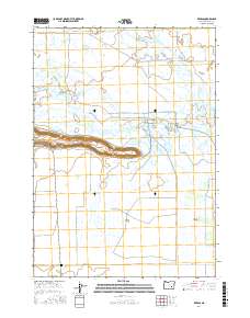
2017 Map of Redess
USGS Topo · Published 2017About this map
Wrights Point dominates the central landscape of this Harney County region, a prominent escarpment that overlooks a complex network of waterways and marshlands. The hydrography is particularly intricate, defined by the splitting of the E Fork Silvies River and W Fork Silvies River, which feed into numerous distributaries and wetlands like McRae Slough and Boat Ford Slough. This 2017 survey reveals an area largely shaped by water management and ranching, evidenced by the presence of the Big Red S Canal and the Ausmus Canal, alongside agricultural markers like the Big Red S Field. Human presence is concentrated near the settlement of Redess and along roads such as Island Ranch Rd, while the Sunset Valley Cem provides a point of genealogical interest for those tracing family ties in this specialized high-desert environment.
Find a feature on this map
24 named features on this map. Tap any name to fly to it.
Don’t see what you’re looking for? This feature index may not catch every label — zoom into the map to look around manually.
Map Details
Editions of this 2017 Redess Map
This is the sole edition of this map. No revisions or reprints were ever made.
Other maps of this area

1955 · Burns
USGS Topo · 1:250,000

1958 · Burns
USGS Topo · 1:250,000

1959 · Burns
USGS Topo · 1:250,000

1959 · Harney
USGS Topo · 1:62,500

1959 · Dog Mountain
USGS Topo · 1:62,500

1959 · Lawen
USGS Topo · 1:62,500

1960 · Burns
USGS Topo · 1:62,500

1960 · Burns
USGS Topo · 1:24,000

1975 · Burns
USGS Topo · 1:24,000

1978 · Malheur Lake
USGS Topo · 1:100,000