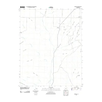
2010 Map of Redmesa
USGS Topo · Published 2010About this map
Red Mesa dominates the northern portion of this landscape in La Plata County, providing a high plateau for the settlements of Redmesa and Marvel. The La Plata River carves a central path through the terrain, supported by man-made irrigation infrastructure like the Enterprise Ditch and Pioneer Ditch near the southern border. This network of waterways and ditches highlights the vital role of water management in sustaining agricultural life in this arid high-desert environment.
Find a feature on this map
47 named features on this map. Tap any name to fly to it.
Don’t see what you’re looking for? This feature index may not catch every label — zoom into the map to look around manually.
Map Details
Editions of this 2010 Redmesa Map
This is the sole edition of this map. No revisions or reprints were ever made.
Other maps of this area

1889 · Chaco
USGS Topo · 1:250,000

1892 · Chaco
USGS Topo · 1:250,000

1912 · Soda Canyon
USGS Topo · 1:62,500

1913 · Red Mesa
USGS Topo · 1:62,500

1915 · Soda Canyon
USGS Topo · 1:62,500

1954 · Shiprock
USGS Topo · 1:250,000

1956 · Cortez
USGS Topo · 1:250,000

1958 · Cortez
USGS Topo · 1:250,000

1958 · Shiprock
USGS Topo · 1:250,000

1959 · Shiprock
USGS Topo · 1:250,000