Loading...
Loading map...2023 Map of Redmond
USGS Topo · Published 2023About this map
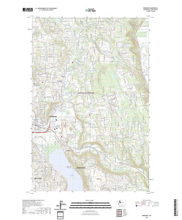
Redmond serves as the focal point for this survey of the Eastside's suburban and riparian landscape. The map details the dense residential grid expanding north from Lake Sammamish toward the smaller settlements of Avondale and White. This era of development is reflected in the complex network of streets such as NE 166th St and NE 140th St, which weave between established local landmarks like the Redmond Cem and the extensive grounds of Cedar Lawns Memorial Park.
Find a feature on this map
183 named features on this map. Tap any name to fly to it.
Don’t see what you’re looking for? This feature index may not catch every label — zoom into the map to look around manually.
Map Details
Date Portrayed2023
Date Published2023
PublisherU.S. Geological Survey
Map TypeTopographic
Scale1:24000
Physical Dimensions24 x 29 inches
Editions of this 2023 Redmond Map
This is the sole edition of this map. No revisions or reprints were ever made.
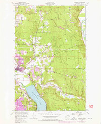
Historical Maps of Kenilworth Through Time
Featured Locations
Source Details
SourceU.S. Geological Survey
CopyrightPublic Domain