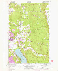
1950 Map of Redmond
USGS Topo · Published 1976About this map
Redmond is shown as a growing hub in the Sammamish Valley during a mid-century period of suburban expansion. The map captures the transition from rural timber and agricultural land to modern residential developments, including the footprint of Marymoor Park and the burgeoning community of Bellevue to the southwest. Transportation history is well-preserved here, following the Burlington Northern line and an Old Railroad Grade that winds through the terrain near Union Hill.
Find a feature on this map
38 named features on this map. Tap any name to fly to it.
Don’t see what you’re looking for? This feature index may not catch every label — zoom into the map to look around manually.
Map Details
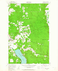
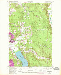
Editions of this 1950 Redmond Map
4 editions found
Other maps of this area

1895 · Snohomish
USGS Topo · 1:125,000

1897 · Seattle
USGS Topo · 1:125,000

1921 · Sultan
USGS Topo · 1:125,000

1923 · Sultan
USGS Topo · 1:125,000

1944 · Everett
USGS Topo · 1:62,500

1950 · Redmond
USGS Topo · 1:24,000
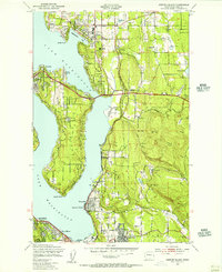
1950 · Mercer Island
USGS Topo · 1:24,000

1950 · Issaquah
USGS Topo · 1:24,000

1950 · Kirkland
USGS Topo · 1:24,000

1953 · Monroe
USGS Topo · 1:24,000