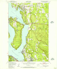
1950 Map of Mercer Island
USGS Topo · Published 1956About this map
Mercer Island dominates the center of this mid-century survey, surrounded by the waters of Lake Washington as the Eastside communities began their post-war expansion. The map records a landscape in transition, where established estates in Medina and Beaux Arts contrast with the emerging suburban footprints in Bellevue and East Seattle. Local infrastructure is well-defined, featuring the Bellevue Airfield and the Overlake High Sch campus, while the eastern hills still show the industrial fingerprints of earlier eras near Newcastle and the drainages of Coal Creek. Institutional landmarks like the Burbank Boys Sch on the island and the northern reach of Renton at the south end of the lake provide fixed points for genealogists and local historians. To the west, the Bailey Peninsula and Seward Park reach into the lake, marking the boundary of the urban Seattle landscape across the water.
Find a feature on this map
44 named features on this map. Tap any name to fly to it.
Don’t see what you’re looking for? This feature index may not catch every label — zoom into the map to look around manually.
Map Details
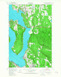
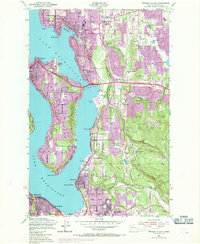
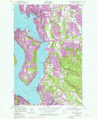
Editions of this 1950 Mercer Island Map
4 editions found
Other maps of this area

1894 · Seattle
USGS Topo · 1:62,500

1895 · Snohomish
USGS Topo · 1:125,000

1897 · Tacoma
USGS Topo · 1:125,000

1897 · Seattle
USGS Topo · 1:125,000

1900 · Tacoma
USGS Topo · 1:125,000

1908 · Seattle
USGS Topo · 1:62,500

1909 · Seattle Special
USGS Topo · 1:62,500

1949 · Maple Valley
USGS Topo · 1:24,000

1949 · Renton
USGS Topo · 1:24,000

1949 · Seattle North
USGS Topo · 1:24,000