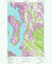
1950 Map of Mercer Island
USGS Topo · Published 1976About this map
Lake Washington defines the geography of this mid-century survey, separating the growing residential communities of Mercer Island City and Bellevue from the city of Seattle. This era captures a landscape in transition as postwar suburban expansion accelerates, visible in the dense network of new schools such as Burbank Boys Sch, Sammamish High Sch, and Tyee Jr High Sch. The map documents the early paths of Interstate 90 and Interstate 405, which forever changed the connectivity of the Eastside. Smaller enclaves like Beaux Arts and Medina sit along the waterfront, while the eastern hills reveal a mix of emerging neighborhoods like Lake Hills and Eastgate alongside established features like Bellevue Airfield and the State Fish Hatchery on the Bailey Peninsula.
Find a feature on this map
63 named features on this map. Tap any name to fly to it.
Don’t see what you’re looking for? This feature index may not catch every label — zoom into the map to look around manually.
Map Details
Editions of this 1950 Mercer Island Map
4 editions found
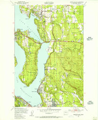
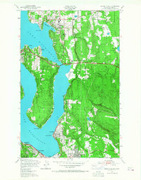
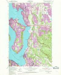
Other maps of this area

1894 · Seattle
USGS Topo · 1:62,500

1895 · Snohomish
USGS Topo · 1:125,000

1897 · Tacoma
USGS Topo · 1:125,000

1897 · Seattle
USGS Topo · 1:125,000

1900 · Tacoma
USGS Topo · 1:125,000

1908 · Seattle
USGS Topo · 1:62,500

1909 · Seattle Special
USGS Topo · 1:62,500

1949 · Maple Valley
USGS Topo · 1:24,000

1949 · Renton
USGS Topo · 1:24,000

1949 · Seattle North
USGS Topo · 1:24,000