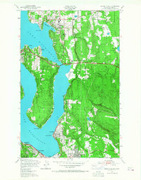
1950 Map of Mercer Island
USGS Topo · Published 1968About this map
Lake Washington defines this mid-century landscape, separating the developing suburban centers of Bellevue and Medina from the prominent landmass of Mercer Island. The map documents a period of rapid growth on the Eastside, where the Northern Pacific railroad still winds through the terrain, connecting industrial pockets like the Renton city boundary to smaller settlements such as Kennydale and Wilburton. Notable institutional sites are visible, including the Burbank Boys Sch on the island and the Overlake High Sch near the shore.
Find a feature on this map
35 named features on this map. Tap any name to fly to it.
Don’t see what you’re looking for? This feature index may not catch every label — zoom into the map to look around manually.
Map Details
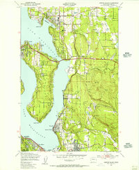
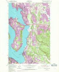
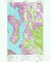
Editions of this 1950 Mercer Island Map
4 editions found
Other maps of this area

1894 · Seattle
USGS Topo · 1:62,500

1895 · Snohomish
USGS Topo · 1:125,000

1897 · Tacoma
USGS Topo · 1:125,000

1897 · Seattle
USGS Topo · 1:125,000

1900 · Tacoma
USGS Topo · 1:125,000

1908 · Seattle
USGS Topo · 1:62,500

1909 · Seattle Special
USGS Topo · 1:62,500

1949 · Maple Valley
USGS Topo · 1:24,000

1949 · Renton
USGS Topo · 1:24,000

1949 · Seattle North
USGS Topo · 1:24,000