
1950 Map of Issaquah
USGS Topo · Published 1956About this map
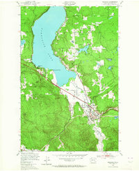
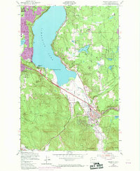
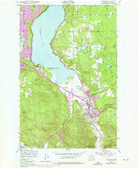
Issaquah serves as the hub of this mid-century landscape, positioned at the convergence of the East Fork and the Northern Pacific railroad. The geography is defined by the expansive southern reach of Sammamish Lake, where small settlements like Monohon and Inglewood dot the eastern shoreline. The town center shows early industrial and civic footprints, including the State Fish Hatchery and the Issaquah Airport situated along the flats of Issaquah Creek.
Find a feature on this map
31 named features on this map. Tap any name to fly to it.
Don’t see what you’re looking for? This feature index may not catch every label — zoom into the map to look around manually.
Map Details
Editions of this 1950 Issaquah Map
4 editions found
Other maps of this area

1895 · Snohomish
USGS Topo · 1:125,000

1897 · Tacoma
USGS Topo · 1:125,000

1897 · Seattle
USGS Topo · 1:125,000

1900 · Tacoma
USGS Topo · 1:125,000

1913 · Cedar Lake
USGS Topo · 1:125,000

1921 · Sultan
USGS Topo · 1:125,000

1923 · Sultan
USGS Topo · 1:125,000

1949 · Maple Valley
USGS Topo · 1:24,000

1949 · Renton
USGS Topo · 1:24,000

1950 · Redmond
USGS Topo · 1:24,000