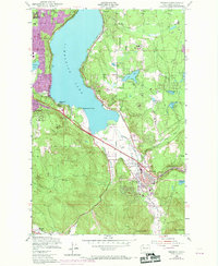
1950 Map of Issaquah
USGS Topo · Published 1969About this map
Issaquah sits at the southern reach of Sammamish Lake, serving as a focal point where the Northern Pacific railroad meets Issaquah Creek. This 1950 survey, updated with 1968 aerial photography, reveals the rapid suburban transition occurring on the east side of Lake Washington. While traditional landmarks like the State Fish Hatchery and Clark Sch persist, the expansion of Lake Hills and Eastgate in purple indicates the growing footprint of residential development during the post-war era.
Find a feature on this map
36 named features on this map. Tap any name to fly to it.
Don’t see what you’re looking for? This feature index may not catch every label — zoom into the map to look around manually.
Map Details
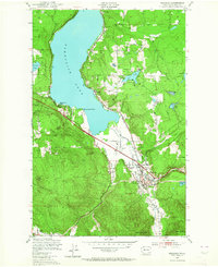
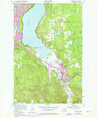
Editions of this 1950 Issaquah Map
4 editions found

Other maps of this area

1895 · Snohomish
USGS Topo · 1:125,000

1897 · Tacoma
USGS Topo · 1:125,000

1897 · Seattle
USGS Topo · 1:125,000

1900 · Tacoma
USGS Topo · 1:125,000

1913 · Cedar Lake
USGS Topo · 1:125,000

1921 · Sultan
USGS Topo · 1:125,000

1923 · Sultan
USGS Topo · 1:125,000

1949 · Maple Valley
USGS Topo · 1:24,000

1949 · Renton
USGS Topo · 1:24,000

1950 · Redmond
USGS Topo · 1:24,000