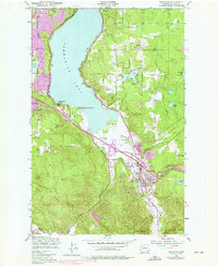
1950 Map of Issaquah
USGS Topo · Published 1976About this map
Issaquah and its surrounding valleys appear at a moment of significant mid-century transition, with expansion visible around the eastern shores of Sammamish Lake. The landscape is defined by the sharp rise of Tiger Mountain and Squak Mountain to the south, while the northern lowlands are punctuated by a chain of smaller water bodies including Pine Lake, Laughing Jacobs Lake, and Phantom Lake.
Find a feature on this map
30 named features on this map. Tap any name to fly to it.
Don’t see what you’re looking for? This feature index may not catch every label — zoom into the map to look around manually.
Map Details
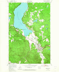
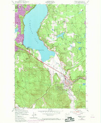
Editions of this 1950 Issaquah Map
4 editions found

Other maps of this area

1895 · Snohomish
USGS Topo · 1:125,000

1897 · Tacoma
USGS Topo · 1:125,000

1897 · Seattle
USGS Topo · 1:125,000

1900 · Tacoma
USGS Topo · 1:125,000

1913 · Cedar Lake
USGS Topo · 1:125,000

1921 · Sultan
USGS Topo · 1:125,000

1923 · Sultan
USGS Topo · 1:125,000

1949 · Maple Valley
USGS Topo · 1:24,000

1949 · Renton
USGS Topo · 1:24,000

1950 · Redmond
USGS Topo · 1:24,000