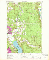
1950 Map of Redmond
USGS Topo · Published 1970About this map
Redmond centers this mid-century landscape at the confluence of Bear Creek and the Sammamish River. The transition from rural to suburban is evident in the 1968 updates, showing the urban expansion of the town core and the emergence of residential clusters like Ardmore and Kenilworth along the northern shores of Sammamish Lake. Historically, the area was shaped by the Northern Pacific railroad corridor and a network of timber and farm roads like Novelty Road and York Road.
Find a feature on this map
38 named features on this map. Tap any name to fly to it.
Don’t see what you’re looking for? This feature index may not catch every label — zoom into the map to look around manually.
Map Details
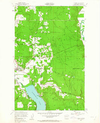
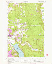
Editions of this 1950 Redmond Map
4 editions found
Other maps of this area

1895 · Snohomish
USGS Topo · 1:125,000

1897 · Seattle
USGS Topo · 1:125,000

1921 · Sultan
USGS Topo · 1:125,000

1923 · Sultan
USGS Topo · 1:125,000

1944 · Everett
USGS Topo · 1:62,500

1950 · Redmond
USGS Topo · 1:24,000
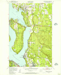
1950 · Mercer Island
USGS Topo · 1:24,000

1950 · Issaquah
USGS Topo · 1:24,000

1950 · Kirkland
USGS Topo · 1:24,000

1953 · Monroe
USGS Topo · 1:24,000