
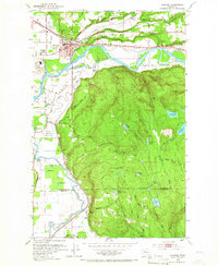
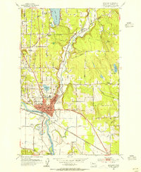
1953 Map of Monroe
USGS Topo · Published 1955About this map
The Monroe townsite and its surrounding river valleys are captured here in the early 1950s, a landscape defined by the convergence of the Skykomish River and the Snoqualmie River. The map shows a region heavily influenced by institutional and industrial activity, from the sprawling Evergreen State Fairgrounds and State Reformatory to the numerous gravel pits and sawmills that supported the local economy. The transportation network is particularly dense, with the Great Northern and the Milwaukee Road railroads cutting through the Cherry Valley and along the riverbanks. High on the wooded slopes, numerous small lakes and swamps like Lake Margaret and Harts Swamp drain toward the lowlands, illustrating the complex hydrology that feeds into Haskel Slough and other secondary waterways. This survey provides a clear view of the area just before the post-war suburban expansion significantly altered the rural character of the Snohomish and King County border.
Find a feature on this map
51 named features on this map. Tap any name to fly to it.
Don’t see what you’re looking for? This feature index may not catch every label — zoom into the map to look around manually.
Map Details
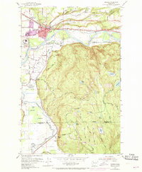
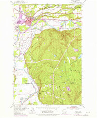
Editions of this 1953 Monroe Map
4 editions found
Other maps of this area

1895 · Snohomish
USGS Topo · 1:125,000

1897 · Seattle
USGS Topo · 1:125,000

1921 · Sultan
USGS Topo · 1:125,000

1923 · Sultan
USGS Topo · 1:125,000

1944 · Everett
USGS Topo · 1:62,500

1950 · Redmond
USGS Topo · 1:24,000

1953 · Sultan
USGS Topo · 1:24,000

1953 · Lake Joy
USGS Topo · 1:24,000
1953 · Maltby
USGS Topo · 1:24,000
1953 · Snohomish
USGS Topo · 1:24,000