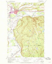
1953 Map of Monroe
USGS Topo · Published 1969About this map
The confluence of the Skykomish River and the Snoqualmie River shapes the landscape of this Snohomish County survey, where the town of Monroe serves as a major transportation and institutional hub. Two major rail lines, the Great Northern and the Chicago Milwaukee St Paul and Pacific, intersect near the town center, underscoring the area's historical role as a regional junction. The map documents the extensive grounds of the State Reformatory and the State Reformatory Farm No 2, alongside the Evergreen State Fairgrounds. North of the river, the terrain transitions into a dense network of sloughs and lakes, including Haskel Slough and Riley Slough, while the southern reaches rise toward High Rock and the Cherry Valley. Evidence of local industry and community life appears in numerous Gravel Pits, the Monroe Golf Course, and scattered rural education sites like Wagner Sch.
Find a feature on this map
66 named features on this map. Tap any name to fly to it.
Don’t see what you’re looking for? This feature index may not catch every label — zoom into the map to look around manually.
Map Details
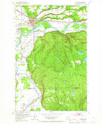
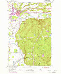
Editions of this 1953 Monroe Map
4 editions found
Other maps of this area

1895 · Snohomish
USGS Topo · 1:125,000

1897 · Seattle
USGS Topo · 1:125,000

1921 · Sultan
USGS Topo · 1:125,000

1923 · Sultan
USGS Topo · 1:125,000

1944 · Everett
USGS Topo · 1:62,500

1950 · Redmond
USGS Topo · 1:24,000

1953 · Sultan
USGS Topo · 1:24,000

1953 · Lake Joy
USGS Topo · 1:24,000

1953 · Monroe
USGS Topo · 1:24,000
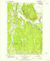
1953 · Maltby
USGS Topo · 1:24,000