
1953 Map of Sultan
USGS Topo · Published 1955About this map
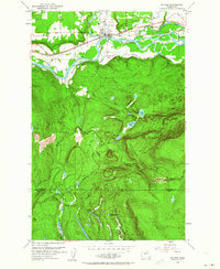
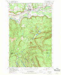
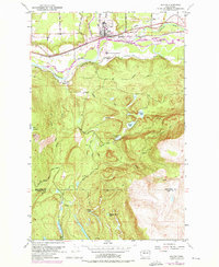
The confluence of the Skykomish River, Wallace River, and Sultan River anchors this mid-century survey of the Cascade foothills. The town of Sultan serves as the primary hub, situated where the Great Northern railroad follows the river valley. The map reveals an industrial landscape transitioning from heavy rail dependency to a network of hinterland access roads, marked by an Old Railroad Grade and various paths like the Tolt Truck Trail.
Find a feature on this map
29 named features on this map. Tap any name to fly to it.
Don’t see what you’re looking for? This feature index may not catch every label — zoom into the map to look around manually.
Map Details
Editions of this 1953 Sultan Map
4 editions found
Other maps of this area

1921 · Sultan
USGS Topo · 1:125,000

1923 · Sultan
USGS Topo · 1:125,000

1953 · Lake Joy
USGS Topo · 1:24,000

1953 · Monroe
USGS Topo · 1:24,000

1953 · Carnation
USGS Topo · 1:24,000

1956 · Monroe
USGS Topo · 1:62,500

1957 · Index
USGS Topo · 1:62,500

1957 · Wenatchee
USGS Topo · 1:250,000

1960 · Mount Si
USGS Topo · 1:62,500
1975 · Skykomish River
USGS Topo · 1:100,000