
1957 Map of Index
USGS Topo · Published 1959About this map
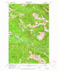
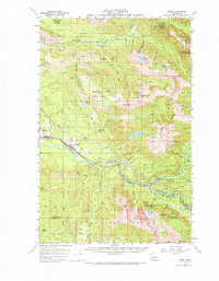
Snoqualmie National Forest dominates the landscape of this 1957 survey, where the Great Northern Railway snakes through the high country along the Skykomish River. The map illustrates a period of active resource extraction and mountain management, evidenced by the Kromona Mine and Lockwood Mine, alongside civic infrastructure like the North Fork Guard Station and Camp Huston. The terrain is defined by dramatic elevations including Mt Stickney and Mt Index, while the Wallace River creates notable features such as Wallace Falls. Small settlements like Startup, Gold Bar, and Index cling to the river valley, serving as hubs for the rail and timber industries that shaped these mountain corridors during the mid-century era. The detailed mapping of various quarries and a Gravel Pit further underscores the industrial footprint on this mountain wilderness.
Find a feature on this map
84 named features on this map. Tap any name to fly to it.
Don’t see what you’re looking for? This feature index may not catch every label — zoom into the map to look around manually.
Map Details
Editions of this 1957 Index Map
Other maps of this area

1899 · Glacier Peak
USGS Topo · 1:125,000

1899 · Stillaguamish
USGS Topo · 1:125,000

1901 · Glacier Peak
USGS Topo · 1:125,000

1901 · Stilaguamish
USGS Topo · 1:125,000

1902 · Skykomish
USGS Topo · 1:125,000

1905 · Skykomish
USGS Topo · 1:125,000

1921 · Sultan
USGS Topo · 1:125,000

1923 · Sultan
USGS Topo · 1:125,000

1953 · Sultan
USGS Topo · 1:24,000

1953 · Lake Joy
USGS Topo · 1:24,000