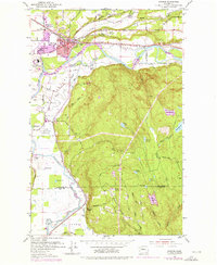
1953 Map of Monroe
USGS Topo · Published 1976About this map
Monroe serves as the focal point for this Snohomish County survey, showing a landscape defined by the convergence of the Skykomish River and Snoqualmie River. The town is well-established with civic institutions including the Monroe General Hospital, Park Place School, and the Evergreen State fairgrounds. A notable feature of the local economy and geography is the presence of the State Reformatory and the expansive State Reformatory Farm No 2 to the south.
Find a feature on this map
66 named features on this map. Tap any name to fly to it.
Don’t see what you’re looking for? This feature index may not catch every label — zoom into the map to look around manually.
Map Details
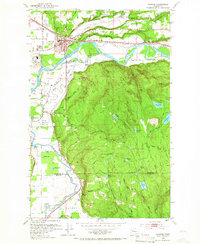
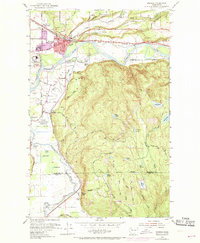
Editions of this 1953 Monroe Map
4 editions found
Other maps of this area

1895 · Snohomish
USGS Topo · 1:125,000

1897 · Seattle
USGS Topo · 1:125,000

1921 · Sultan
USGS Topo · 1:125,000

1923 · Sultan
USGS Topo · 1:125,000

1944 · Everett
USGS Topo · 1:62,500

1950 · Redmond
USGS Topo · 1:24,000

1953 · Sultan
USGS Topo · 1:24,000

1953 · Lake Joy
USGS Topo · 1:24,000

1953 · Monroe
USGS Topo · 1:24,000
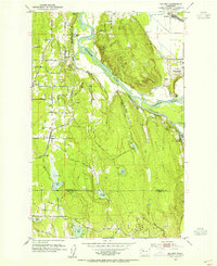
1953 · Maltby
USGS Topo · 1:24,000