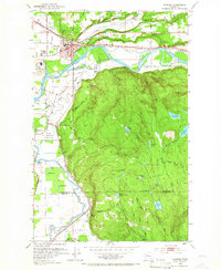
1953 Map of Monroe
USGS Topo · Published 1966About this map
The Monroe township and its agricultural outskirts come into sharp focus in this mid-century study, where the town serves as a crossroads for the Great Northern and C M St P & P railroads. To the west, the State Reformatory and the adjacent State Reformatory Farm No 2 occupy a significant portion of the valley floor along the Skykomish River. The map captures a landscape defined by water and low-lying marshes, evidenced by numerous small lakes and swamps like Lake Hannan, King Lake, and Harts Swamp tucked into the rising timberland south of the river. Evidence of local industry and social infrastructure is present throughout, from the Evergreen State Fairgrounds and Monroe Memorial Park Cem in the north to the isolated McCauley Falls and the Pump House along Cherry Creek near the border with King County.
Find a feature on this map
47 named features on this map. Tap any name to fly to it.
Don’t see what you’re looking for? This feature index may not catch every label — zoom into the map to look around manually.
Map Details
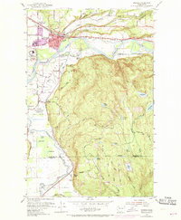
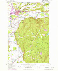
Editions of this 1953 Monroe Map
4 editions found
Other maps of this area

1895 · Snohomish
USGS Topo · 1:125,000

1897 · Seattle
USGS Topo · 1:125,000

1921 · Sultan
USGS Topo · 1:125,000

1923 · Sultan
USGS Topo · 1:125,000

1944 · Everett
USGS Topo · 1:62,500

1950 · Redmond
USGS Topo · 1:24,000

1953 · Sultan
USGS Topo · 1:24,000

1953 · Lake Joy
USGS Topo · 1:24,000

1953 · Monroe
USGS Topo · 1:24,000
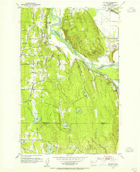
1953 · Maltby
USGS Topo · 1:24,000