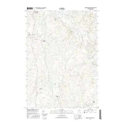
2016 Map of Remington Corners
USGS Topo · Published 2016About this map
The Middle Branch Oswegatchie River and its numerous tributaries dominate this part of Lewis County, where the transition from rural settlement to the protected Adirondack Park Preserve is clearly visible. The landscape is defined by an intricate network of wetlands, including Sunday Swamp, Carley Swamp, and Pine Creek Swamp, interspersed with localized elevations such as Grassy Hill and Brushy Ridge. Small hamlets like Remington Corners and Jerden Falls serve as focal points for the road network, while the naming of Kimball Mill and Bishas Mill hints at the historical reliance on the region's waterpower. Genealogists may find interest in the Oswegatchie Corners Cem, located near the northern edge of the survey area. This data reflects the persistent character of a region where geography and conservation efforts dictate the limits of human infrastructure.
Find a feature on this map
52 named features on this map. Tap any name to fly to it.
Don’t see what you’re looking for? This feature index may not catch every label — zoom into the map to look around manually.
Map Details
Editions of this 2016 Remington Corners Map
This is the sole edition of this map. No revisions or reprints were ever made.
Other maps of this area

1911 · Lowville
USGS Topo · 1:62,500

1912 · Number Four
USGS Topo · 1:62,500

1913 · Lowville
USGS Topo · 1:62,500

1913 · Lake Bonaparte
USGS Topo · 1:62,500

1915 · Number Four
USGS Topo · 1:62,500

1916 · Lake Bonaparte
USGS Topo · 1:62,500

1916 · Oswegatchie
USGS Topo · 1:62,500

1918 · Oswegatchie
USGS Topo · 1:62,500

1948 · Ogdensburg
USGS Topo · 1:250,000

1950 · Utica
USGS Topo · 1:250,000